The team at Flat Rock is excited to join RESPEC! We look forward to serving our current Flat Rock clients and bringing our passion for GEO to RESPEC and their clients.
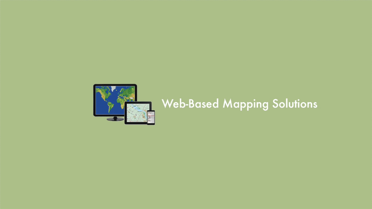
Turning Your Important Data into Interactive Web-Based Maps
Why would you need or want an interactive map?
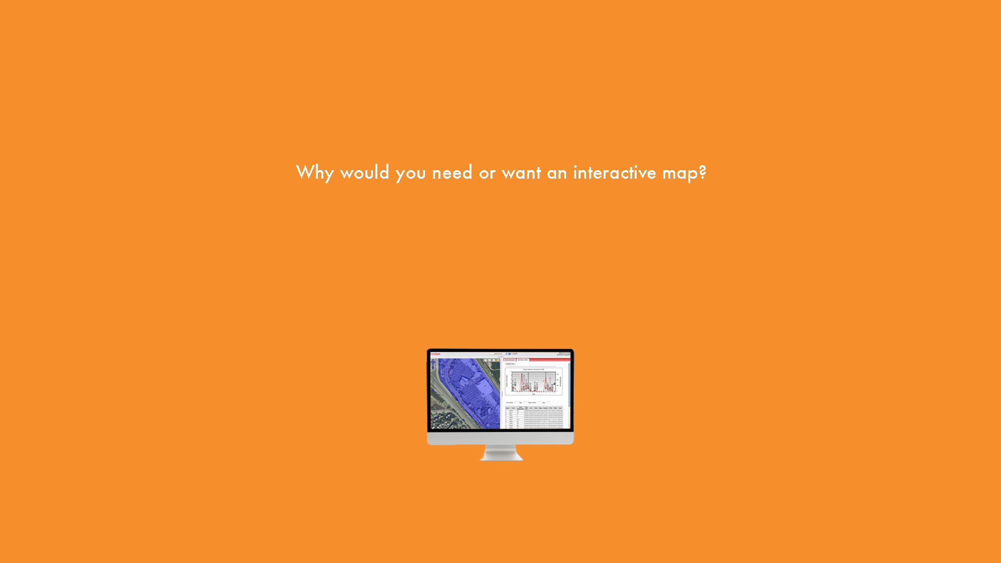
Think of your job and what you do each day. Many important tasks involve knowing “where” something is. Whether it is a destination or something important at that place, once you put it on a map a whole new world of information is opened to you.
Being able to view your organization’s important data geographically allows you to see “patterns” that you can’t see in a spreadsheet or report. Instantly, you will see the benefits of visualizing your data in a user-friendly, interactive environment.
Over 80% of the information that you view as critical to running your organization has a geographic component to it.
Creating solutions and answering important questions often times begins when you have a deeper geographic understanding of the ever-changing world around you. That understanding usually begins by utilizing some type of GIS (Geographic Information System) solution.
With an interactive map you can map: quantities, densities, change, what’s inside, what’s nearby…and where things are
Revealing trends and relationships with your organizations data and information is just one valuable aspect of creating a web-based interactive map. You will not only be able to quickly and precisely identify patterns, you will be able to easily share these results with your citizens, clients, customers…and your entire organization!
Flat Rock Geographic creates web-based mapping solutions to help governments, businesses, and non-profits obtain answers to important questions, and to solve problems by looking at geographic data in a way that can be easily and quickly understood…and shared!
If you are looking for web-based mapping solutions, your journey begins here…

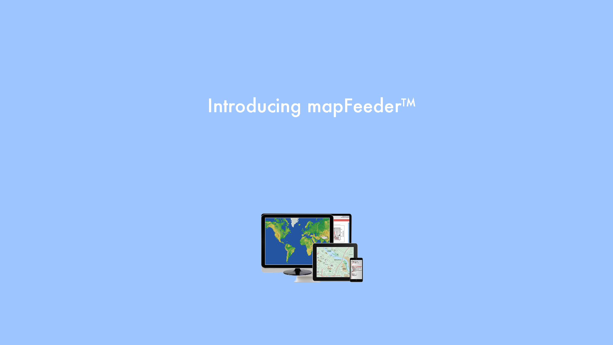
Introducing mapFeeder
mapFeeder is an internet-based mapping application that allows you to track and analyze any task that can be placed geographically. The task can be placed by address, cross street, point of interest, clicking on the map or by using a simple form input. mapFeeder can be tailored to your specific needs.

Custom App Development?
Many organizations want to create richly interactive web-based mapping applications for their staff, customers or the general public. Whether you are interested in Google Maps with store location and driving directions, or more complex items such as Esri, ArcGIS solutions, open source mapping tools or rule-driven business intelligence dashboards, your search for custom geographic apps begins here.

GIS Services
(Geographic Information Services)
It is critical that the GIS Company you choose first understands your environment and your requirements, and then is able to recommend a mapping solution that can handle your specific geographical projects and challenges. Flat Rock Geographics applies a sound, scientific approach to geographic analysis and modeling. Every day we use the powerful capabilities of Esri’s ArcGIS Desktop, 3D/Spatial Analyst and business web services to solve complex geographic problems.

Are you interested in Mobile Apps?
Specifically designed for field data collection and reporting, these new tools will allow you to completely customize your own forms and maps, requiring no knowledge of software programming. With the advent of smart phones, fast mobile connections and tailored apps, mobile data collection is easier than ever. Now you can use the same device you use for a phone, calendar, and contacts to make your life easier to collect field data.