
PondTrack Suite | Powered by mapFeeder
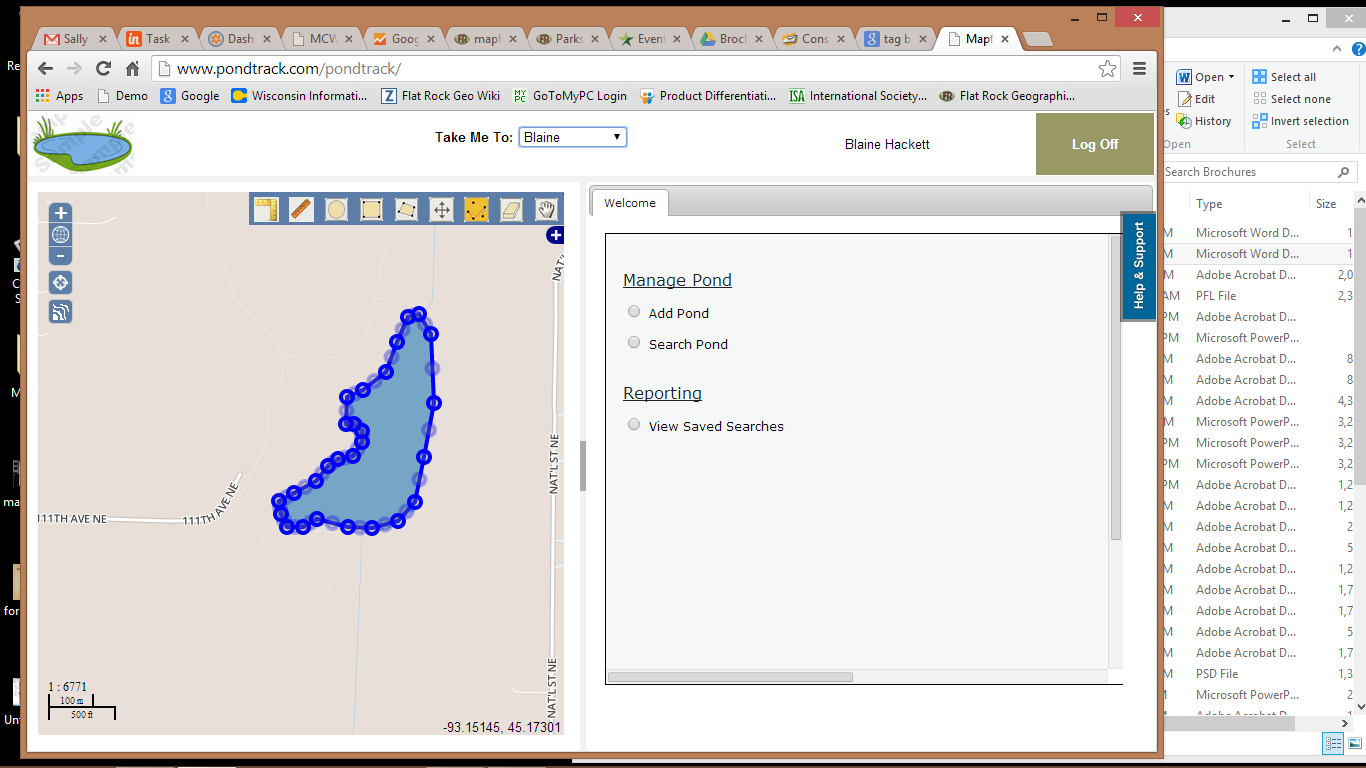
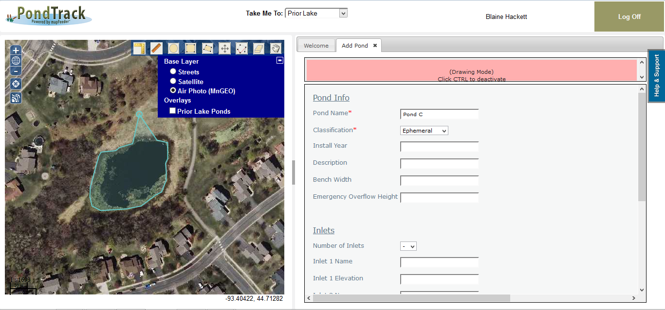
PondTrack allows you to manage your storm ponds by tracking, searching, and reporting on pond characteristics, inspections, and survey information.
• Search across all storm ponds by any pond attribute, map or combination of both
• Answer important questions about issues with your storm pond infrastructure
• Digitize pond area from aerial photos and/or add your GIS data.
VIEW SCREENSHOTS OF OUR PondTrack SUITE

Our current mapFeeder products
Current mapFeeder Products


